Drone aerial photography is an incredibly powerful photographic tool, offering a bird's-eye view to capture object details, angles, and stunning visuals from angles that were not possible before. Learn about the many uses of drone aerial photography for stunning visuals and data analysis.
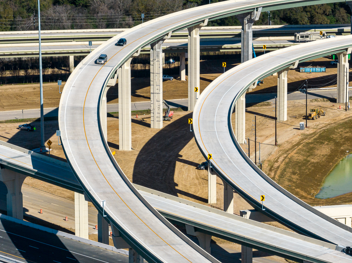
Drone aerial photography makes it much easier to keep an eye on construction sites and observe developments properly. It’s an especially effective way to monitor construction progress when the site is spread over a large area. Aerial photographs of the site can be taken regularly, allowing managers to track changes accurately without physically visiting the site. This makes it easy to identify problems early and give accurate reports on the project’s progress.
Drone aerial photography is an incredibly effective mapping tool. Drones provide detailed images of land areas, making it much easier to identify problems such as erosion and subsidence. These pictures can be used to create accurate maps of the area, showing topography and other features with high precision. This makes it a valuable tool for anyone looking to survey their land or monitor public works projects.
Drone aerial photography is an incredibly effective way to inspect industrial facilities and infrastructures such as oil pipelines, electrical lines, factories, dams, and more. The aerial view provides a unique perspective compared to ground-based inspections, allowing professionals to identify any potential problems quickly and efficiently. In addition, the aerial images can be used in real-time for monitoring and analyzing data. This is significantly faster than traditional methods of inspection, as well as being more cost-effective.
Drone aerial photography is widely utilized in the real estate industry to capture stunning visuals of properties. It provides a unique perspective for agents and their clients, allowing them to show off the property at its best. With the help of drone aerial photography, potential buyers are able to gain an accurate representation of a property before they even see it driving along its streets - making your listings remarkable!
These are just 4 of the many uses of drones for aerial photography and videography. To learn more about the aerial photography process, check out this blog post.
Contact us today and we'll send you an estimate for your aerial photography project. We guarantee our work!